Iceland
Where to Stay in Mývatn
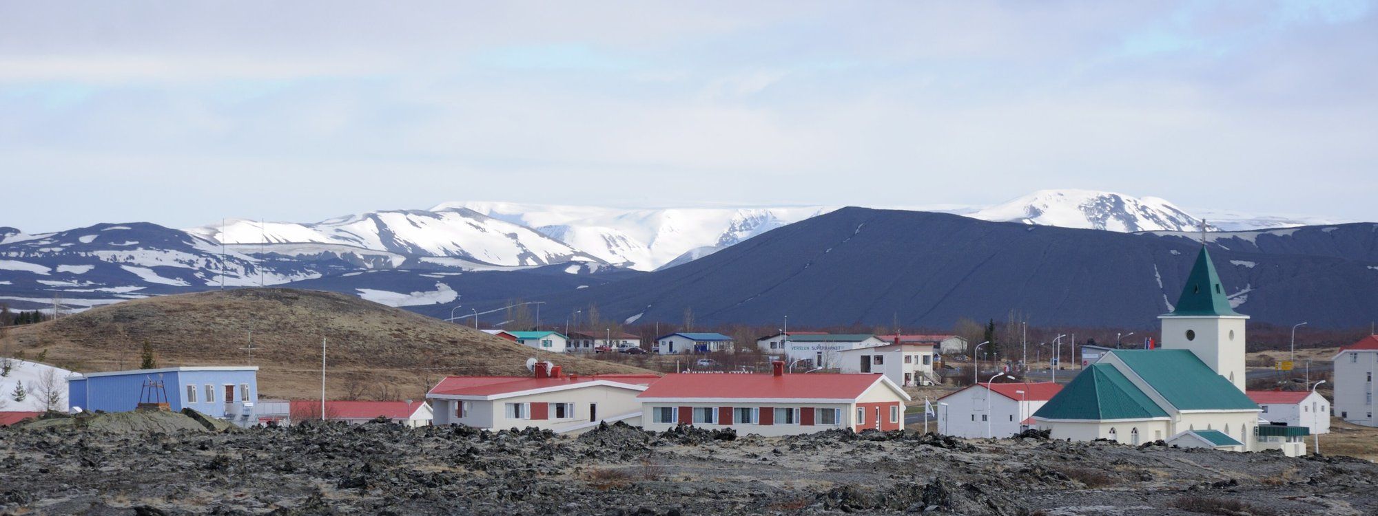
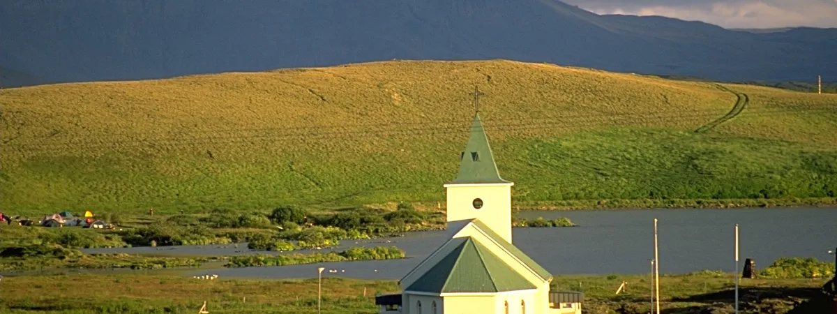
Mývatn is what most travelers call this stretch of North Iceland, but the name actually belongs to the lake — a shallow, 37 km² volcanic lake formed by a basaltic eruption around 2,300 years ago — and the place visitors actually spend the night is Reykjahlíð, a village of about 227 people (2021) on the lake's north shore. At roughly 292 meters above sea level, Reykjahlíð is Iceland's highest-situated town. It's the natural fourth overnight stop on a Ring Road loop for travelers coming from Egilsstaðir, about 166 km (roughly 2 hours) to the east, typically after a detour to Dettifoss — Europe's most powerful waterfall by volume, about 68 km (a 40-minute drive) from the village via the paved west-side road. Akureyri, North Iceland's main city, is about 84 km (a little over an hour) further west. Reykjahlíð itself is small and functional — a cluster of guesthouses, a supermarket, a filling station, and a white church with a green steeple, rebuilt in 1972 after the original was spared, according to local legend, when the 1729 Mývatn Fires' lava flow parted around the churchyard rather than destroying it — but it sits within a few kilometers of some of Iceland's most dramatic volcanic and geothermal scenery. Dimmuborgir's twisted lava-tower 'dark castles' are about a 10-minute drive (roughly 6-6.5 km); the Hverfjall tephra crater, about 2,500 years old, is a similar 10-minute drive; the steaming mud pots and fumaroles of the Hverir/Námaskarð geothermal field sit about 6 km east; and the geothermal Mývatn Nature Baths are about 4 km away. None of it is walkable from the village — every one of these sights is a short drive, not a stroll — so Reykjahlíð functions purely as a base for exploring the wider lake and volcanic area around it.